Southern bank — Southern district
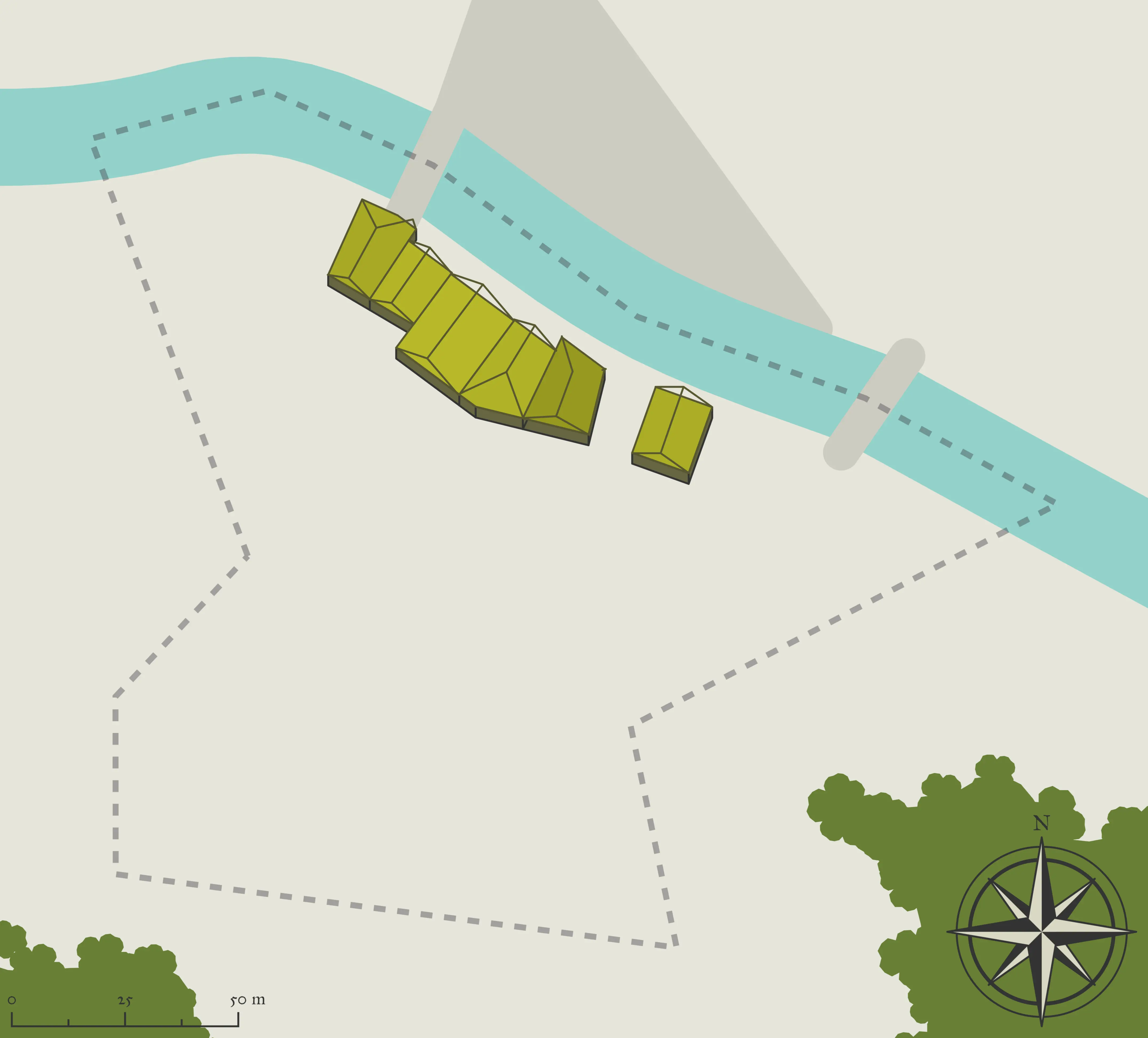
Silk Rock sits on the southern bank of the Rhine, connected to Old Ward by the western bridge and accessible via the eastern bridge deeper in. The district’s name comes from the smooth, almost silky texture of the dark volcanic stone that breaks through the earth on this side of the river — exposed by the Rhine’s erosion over centuries, these formations give the southern bank its distinctive look and lend the soil here a different quality than the moraine-rich north.
Silk Rock is quieter than either northern district. The riverside here is lined with storage buildings, a small dockside for flat-bottomed river craft, and the homes of the families who have worked the southern fields for generations. It is also where the river Rhine is most visible as a living feature of the town — wide and calm in summer, swift and cold in the wetter seasons — and a few residents make their living from it directly through fishing and the occasional river transport of goods.
Character: Quiet, riverside, agricultural and storage-focused
Notable Locations:
- The River Docks — A modest stretch of reinforced riverbank where flat-bottomed boats can be tied up. Used primarily for moving grain and goods along the river toward Chrysalis, though the volume is low. A ferryman named Dalla keeps two boats in working order and takes paying passengers as well as freight.
- The Southern Granaries — A row of large storage buildings where the town’s agricultural surplus is held before being transported west. The granaries are the most economically significant structures in Silk Rock, and their contents are taken seriously — they represent the buffer between a good harvest and a hard winter.
- The Fishing Stretch — A section of riverbank south of the bridges where the Rhine runs deeper and slower, and the fishing is reliably good. A handful of families supplement their income here, and the catch supplements the town’s diet through the colder months.
- Silk Rock Fields — The farmland spreading south from the district toward the lower slopes and open ground away from the river. The volcanic rock that gives the district its name weathers into patches of dark, fertile soil between the outcroppings, and the families who farm here know their land intimately.
Worship: A modest carved marker dedicated to Boldrei stands near the granaries — a community offering at the site where the food is kept.
Population character: Farming families, river workers, and a few older residents who have lived their entire lives on the southern bank and rarely feel the need to cross the bridge except for the market. The most self-contained of Morain’s three districts.